Apps
See satellite photos on your phone with the best apps
Discover the world in stunning detail with these advanced satellite imagery apps - Perfect for curious explorers and geography students!
Advertisement
Explore satellite images in real time! See how to download apps
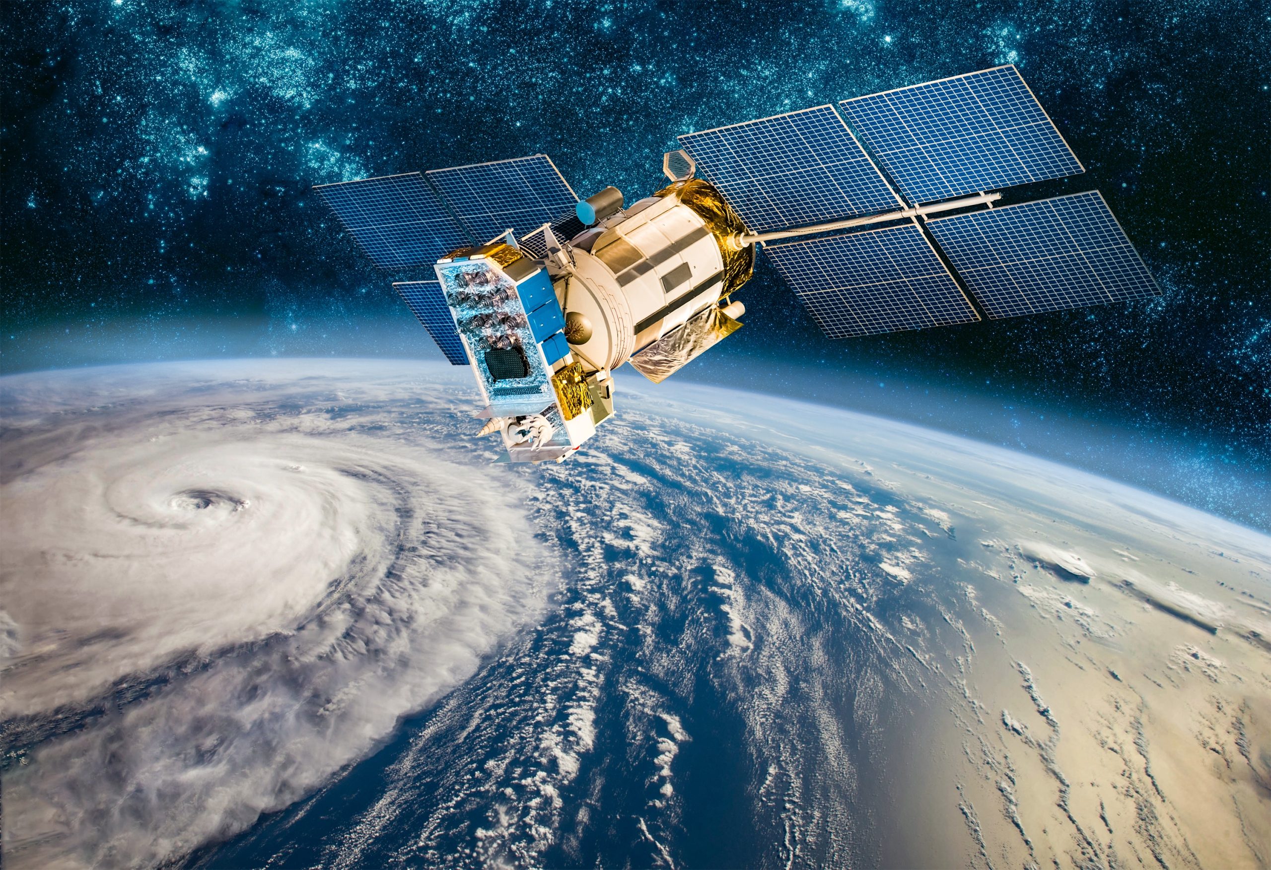
Have you ever imagined being able to see an image of your home in real time, or that place you so want to visit? Well, today you can access all these incredibly detailed images with the best apps to view satellite photos on your cell phone.
If you are interested in exploring the world from the comfort of your own home, we will present 6 applications that allow you to view satellite photos, from the most popular to the most specific for advanced users.
With these apps, you can explore the world, in a didactic way and in the comfort of your home. Check out the complete step-by-step now to download and start using!
Google Earth
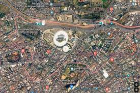
Google Earth is one of the most popular applications for viewing satellite photos. It lets you explore virtually anywhere in the world, from cities and natural landscapes to famous landmarks.
The app is free and available for download on smartphones, tablets and computers and is very easy to use. Just download it on your smartphone or access the site through your internet browser.

After opening the app, you'll see a 3D globe that can be rotated and zoomed using touch gestures. To explore a specific city or natural landscape, type the name into the search field or use the navigation bar to search.
You can also click on one of the markers to find out more information about a particular place.
NEO NASA Earth Observations
NEO is a NASA application that provides access to near real-time satellite imagery. It is designed to be used by scientists and researchers, but could also be of interest to geography and climate enthusiasts.
The platform is free and available for download on computers and also for smartphones. It is more complex and is designed to be used by scientists and researchers. To use it, you must first download and install the software on your computer.
After opening the application, you will see an interface with several features, including satellite imagery, weather models and remote sensing data.
To view satellite images, select the “Earth Images” option and choose a region of the world to explore.
Earth Now
Earth Now is an app that lets you see real-time images of our planet, including information about clouds, temperatures, and pollution.
Access is free and available for download on smartphones and tablets.
Earth Now is a very simple app. The home screen will show a real-time image of our planet.
You can tap the screen to access information about weather and pollution conditions in different parts of the world.
To explore different areas, tap the menu icon in the top left corner of the screen and select the “Explore” option.
SpyMeSat
With SpyMeSat you can view high resolution satellite images from anywhere in the world!
It is designed to be used by people who need images for security purposes, such as security companies or government.
Access is free, but you have to pay for high-resolution satellite images. It is designed for more advanced users.
To use it, you must first download and install the app on your smartphone. After opening the app, you will need to create an account and select a subscription plan to access the high resolution satellite imagery.
Once you have an active subscription, you can use the app to view satellite images from anywhere in the world, with considerable resolution.
Sentinel Hub
Sentinel Hub is a free app that lets you view high-resolution satellite imagery. It is primarily used by scientists and researchers to monitor weather conditions, natural disasters and changes in land cover.
To use it, you need to create an account and select the region of the world you want to view. You can then adjust the image resolution and select the types of data you want to see.
After logging in, select the region of the world you want to view on the map. Then choose the satellite images you want to view, such as multispectral, thermal, or radar images.
Use the zoom and rotate tools to view the selected area in more detail. Sentinel Hub also allows you to download satellite imagery for use in other applications or analysis.
planet explorer
Planet Explorer is an application that offers access to a vast collection of satellite images, with a daily update of the images.
Mainly used by agriculture, mining and infrastructure companies to monitor the condition of areas.
To use the app, you need to create an account and choose the appropriate subscription plan.
Once logged in, you can view high-resolution images from anywhere in the world and access additional information about places of interest.
In summary, there are many applications that allow you to view satellite photos and each one has its own advantages and disadvantages. If you are interested in exploring the world from space, try one of these apps and discover what our planet has to offer!
Trending Topics

Piano Apps: The fun way to learn to play
With the help of certain apps, it's super possible to learn to play the piano in an easier and more fun way! Check out what they are.
Continue lendo
Complete Fortnite Guide: Get V-Bucks, Legendary Skins and Learn How to Top the Rankings
Master Fortnite! Learn advanced strategies, earn V-Bucks, legendary skins, and climb the leaderboards with our complete guide.
Continue lendo
Discover the best recipes to make in the Airfryer – succulent and practical meals
Awaken your taste buds and enjoy snacks and side dishes made in the Airfryer that combine flavor and well-being.
Continue lendoYou may also like

Digital Work Card – Check now the step-by-step on how to get yours
Learn everything right now about downloading your fully Digital Work Card and all its possibilities and limitations!
Continue lendo
Watch and win! Apps that pay you to watch videos
Rewards apps allow you to watch videos and earn points that can be converted into cash. Check out!
Continue lendo
App to meet interesting people nearby. Know all the details
If you want to meet people who are compatible with you and discover new love, Tinder is the perfect app for that with free features!
Continue lendo

